
Looking Up Your Sunnyvale Neighbors
A block lookup is a layered parcel set. Start with one address, define the adjacent lots in a map, and then verify each APN in an official property or deed source. Community maps add civic geography, not a private member roster. Historical directories add a past date, not a current household list.
| Source | What it shows about a block | Access |
|---|---|---|
| County Parcels and Sunnyvale GIS | Adjacent polygons, APNs, land-use, district, and neighborhood layers | Free map and table views; verify data |
| Santa Clara Assessor | Parcel values, transfer document, exemptions, jurisdictions | Free web result; owner name omitted |
| Clerk-Recorder deeds | Title parties and legal descriptions for selected APNs | Office search; no address index |
| Voter data | Registration fields only through self-check or approved file | Purpose restricted; no public street browse |
| Neighborhood-association map | Group coverage and public leader or registration contact | City map; not a member directory |
| Reverse directory | Historical occupants in street-number order | Library collection years and access rules |
A parcel can have an owner who is not at the site. A directory can carry a person who moved years ago. A neighborhood group can publish a contact without publishing household members. That is why a Sunnyvale neighbors search needs a source label beside every result.
Click the Parcels Around a Sunnyvale Address
The verified adjacent-parcel method is visual. Sunnyvale GIS accepts an address, APN, street intersection, or landmark. The County parcel map offers map and summary-table views, plus export and metadata controls. No official buffer or radius control was verified, so define “neighbors” by the immediately adjoining polygons you can see and name.
- Search the target address or APN in the County parcel map or Sunnyvale GIS.
- Zoom until lot lines are clear, click the target parcel, and copy its APN.
- Click each immediately adjoining polygon and write down its APN, noting streets, alleys, or other breaks.
- Run each APN through the Assessor and carry a selected transfer number to the Recorder when a title party matters.
- Stop at the parcel set. For the whole named street, use the Sunnyvale street directory instead.
Use the map to define the set, not to declare who occupies each lot. The County warns that dynamic GIS can differ from primary source data.
Verify Every Sunnyvale Neighboring APN
An APN is a parcel identifier, not a person identifier. After clicking nearby polygons, confirm the APN in the Assessor’s address or APN search. A Sunnyvale neighbors result should carry that APN and the map date beside any later title claim. The public result can show transfer document number and type, transfer date, values, exemptions, and tax-rate jurisdictions. It intentionally omits the assessee name and mailing address on the web result.
If a title party is needed, use the transfer number at the Clerk-Recorder. Official records date from 1850. Digital Reel covers 1850 through 1980, and public workstations cover 1981 forward. The Recorder’s online index ended in 2018, and an address alone cannot substitute for the document number, APN, or party search.
Current data note. The County parcel dataset was updated July 8, 2026 for FY 2025 land and condominium information, but its disclaimer still calls for confirmation against primary records.
Map Sunnyvale Associations, Not Private Members
The City’s July 2025 neighborhood-association map names registered groups and publishes public leaders or contacts. It is a civic directory, not a household roster. The map can tell a reader which group covers an area and whom to contact about registration or community participation. It cannot establish that a named person lives on a particular block.
| Named group on the city map | What the public map can support | Contact route |
|---|---|---|
| Bidweller’s Association | Association name and coverage context | City neighborhood contact |
| Braly Corners | Registered neighborhood group | City map and public leader contact |
| Challenger West | Registered neighborhood group | City map and public leader contact |
| Charles Street 100 | Registered neighborhood group | City map and public leader contact |
| Ortega Park | Registered neighborhood group | City map and public leader contact |
| Panama Park | Registered neighborhood group | City map and public leader contact |
| Raynor Park | Registered neighborhood group | City map and public leader contact |
Sunnyvale’s official map lists 28 registered groups across the city. For neighborhood registration questions, the City map gives ncs@sunnyvale.ca.gov and 408-730-7599. The public contact is useful for civic participation. No official member directory or HOA roster was located, so it should not be implied.
Coverage names also help place a block in its civic setting. Lakewood Village, S.N.A.I.L., San Miguel, Murphy Association, Heritage District, Cherry Chase, Cumberland West and South, Cherry Hill, Challenger West, Valley Forge, Serra North, Stevens Creek, Braly Corners, Panama Park, Raynor Park, and Ortega Park are among the groups named in the city material. The names identify associations, not the people who live within their lines.
Sunnyvale Block Voter Limits
My Voter Status asks a voter to match first name, last name, California driver license or ID, last four Social Security digits, and birthdate. It returns the matching person’s own registration and election information. It does not accept a street and return every nearby voter.
A separate California voter-file application is limited to approved election, scholarly, journalistic, political, or government purposes. Addresses, contact and identifying information, signatures, and protected voters are restricted. Elections Code section 18109 makes knowing unauthorized acquisition or use a misdemeanor. Voter participation history does not reveal ballot selections.
That limit protects neighbors who do not choose to be part of a public block lookup. Use the official self-check for your own record, and do not turn a civic map into a person list.
Read a Historic Sunnyvale Block
Reverse directories can supply the time layer. SJPL reports Haines and Pacific Bell holdings from the mid-1960s, while R.L. Polk sample pages show South Murphy Avenue addresses with businesses, apartments, societies, abbreviated names, vacancy marks, and “Street continued.” A historic block may look dense because several uses or entries share one street number.
Check the alphabetical directory, the reverse street pages, and the key. Compare adjacent years. A missing entry can reflect a gap in the collection, a changed city boundary, a changed number, a publisher omission, vacancy, or nonresponse. It is not proof that a person was never there.
Old Town and downtown blocks carry Murphy-era and early-directory context, while Fair Oaks, Diana Park, postwar tracts, and northern industrial districts call for different map and directory years. Use the neighborhood name as a clue, then let the parcel and publication date decide which block you are reading.
Use Permit History to Understand the Block
E-OneStop can expose permit and plan-history connections by property. Public fields may include project address, applicant or agent, work type and description, permittee, contractor, property-owner identity, and related planning, fire, or Neighborhood Preservation case number. A permit can explain why a parcel changed shape or use and can identify a project participant.
That participant is not automatically a neighbor. The city offers online functions, computer kiosks, counter help, and focused records requests. Privacy and safety exemptions can limit a file. Use permit information as built-block context, then return to APN and deed records for title questions.
Owner, Occupant, and Sunnyvale Household Claims
Three words often get blended in a neighbor lookup. Ownership is a deed or assessment relationship. Occupancy is a directory or other period clue. A household is a group a source chose to list. None should be expanded beyond the record.
| Claim | Best supporting source | What it does not prove |
|---|---|---|
| Owner or title party | Recorded deed and legal description | Current occupant or every household member |
| Parcel next door | GIS polygon and APN confirmation | Relationship between people at the parcels |
| Historic occupant | Reverse directory, census, newspaper, or yearbook | Present residence |
| Civic group contact | City neighborhood-association map | Member list or household roster |
When a question shifts from the block to one person, use a separate two-source resident lookup rather than enlarging the neighbor claim. Keep the map date, APN, deed number, or directory year with the note so a later reader can tell whether the result describes the block now or a block at an earlier time.
Privacy Limits on a Sunnyvale Neighbor Lookup
California Safe at Home can provide a designated mailing address and confidential mail forwarding for eligible survivors and specified public-facing workers. DMV addresses, utility accounts, delivery data, protected voter fields, and confidential court material are not open block directories. CCPA and CPRA rights can help with covered business data, but they do not erase a deed or court file held by a public custodian.
Official parcel and deed sources differ from commercial compiled-data tools. Official records show a defined source, date, and access rule. Commercial tools may merge public and commercial data, charge fees, stale a result, or conflate names. Neither category proves every occupant of a block.
Lawful use. Neighbor lookups are for getting to know civic geography, reconnecting, property curiosity, and personal safety awareness. Never use a result to stalk, threaten, harass, follow, impersonate, or harm another person.
The California Attorney General privacy guidance image shows the separate privacy-rights layer. It does not change the public-record status of a recorded parcel document.
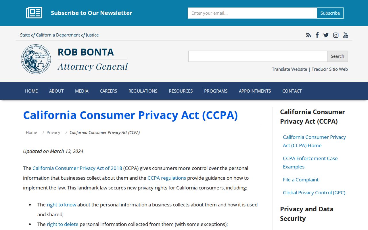
Privacy choices and public-record access are different questions, so verify each with the right custodian.